(Caution: long post ahead, grab plenty of water and snacks before reading!)
Solivagant – to wander alone / a solitary wanderer
I came across this word, Solivagant, when it popped up in my email as the word of the day for an online dictionary. Sometimes I look at the words, sometimes I don’t. This one screamed at me so I checked it out. It came at a time when I was deciding whether or not to do the 42 Km Berg Lake Trail. It was one of the first Crazy Things I came up with when I was assembling my list and I had a few people I would have liked to do it with. I’ve never backpacked overnight, although I kayaked overnight over 20 years ago on a tour. I also have very limited camping experience so I was a bit nervous about tackling what would be a difficult trail for me and including the overnight elements. All those potential hiking partners were unavailable so I was thinking of abandoning the plan for something else. Then this word came up, and I knew I had to do it alone. I don’t mind travelling alone, but this was a bit out of my comfort zone. It definitely qualified as a crazy thing and I think it was meant to be. I booked the campsites and made my plans a month in advance – I would hike the 42Km Berg Lake Trail alone in early July. On a whim I put out that I needed to borrow camping equipment and I was inundated with offers from many extreme campers who were eagerly offering me their equipment and help. I was overwhelmed. I never expected to have that kind of support. Danielle Bates and her husband have done the trail a number of times and Danielle and I are a similar height and build so I borrowed most of my equipment from her. I’m so grateful for all the offers. I knew I was taken care of and that people I really respected believed in me. I checked out a blog that featured camping recipes – The Yummy Life – and discovered some food options that would work for me. I was set.
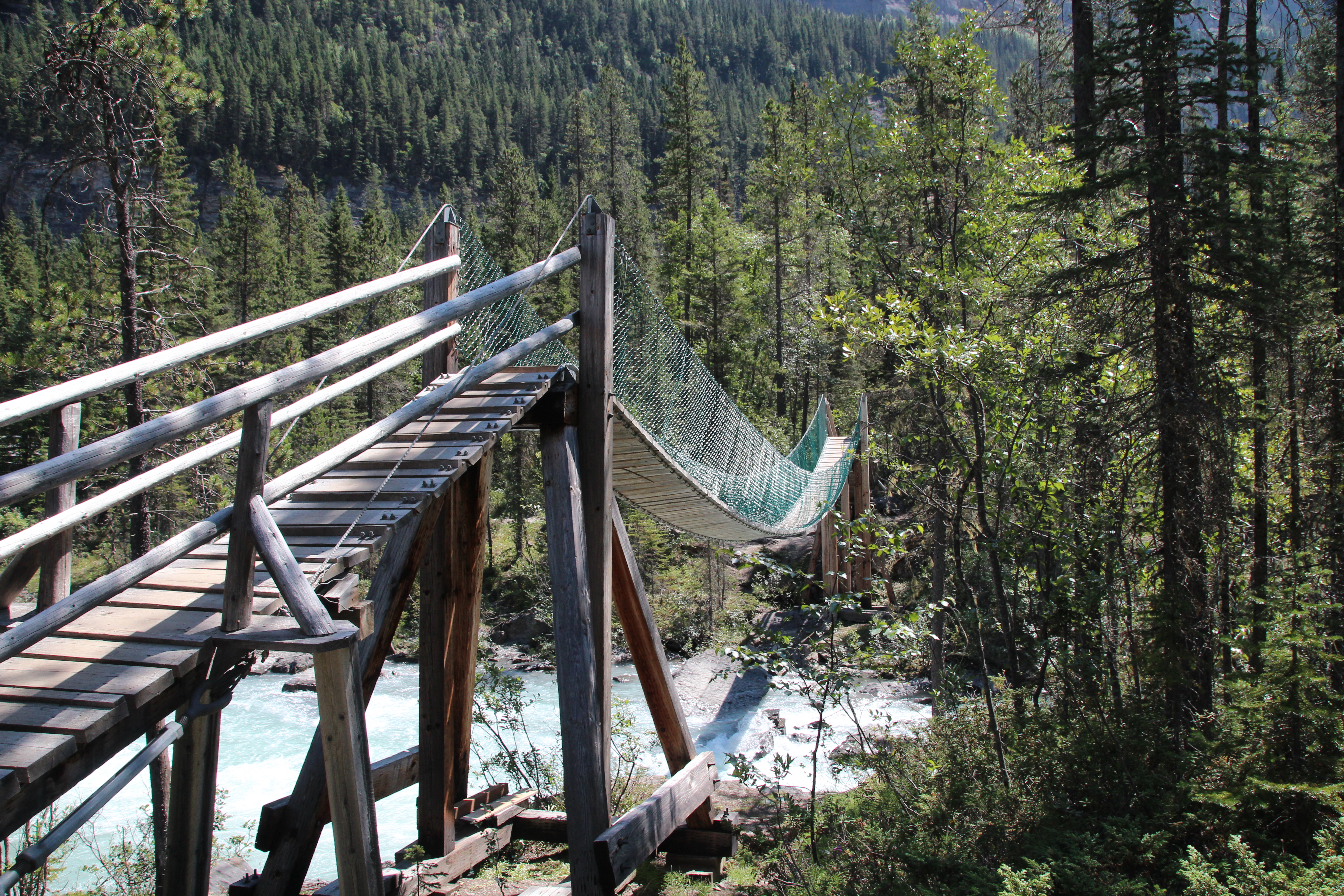
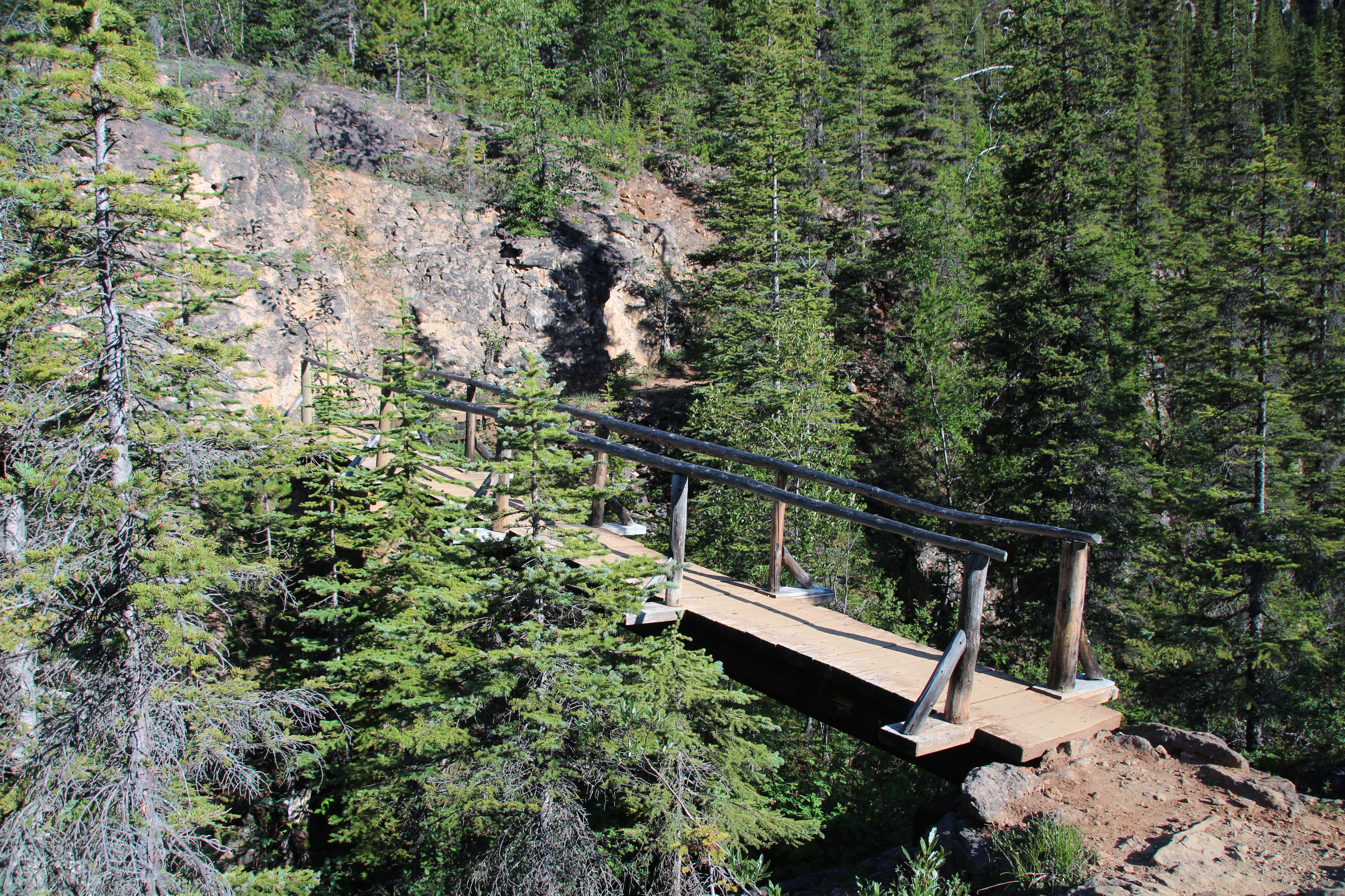
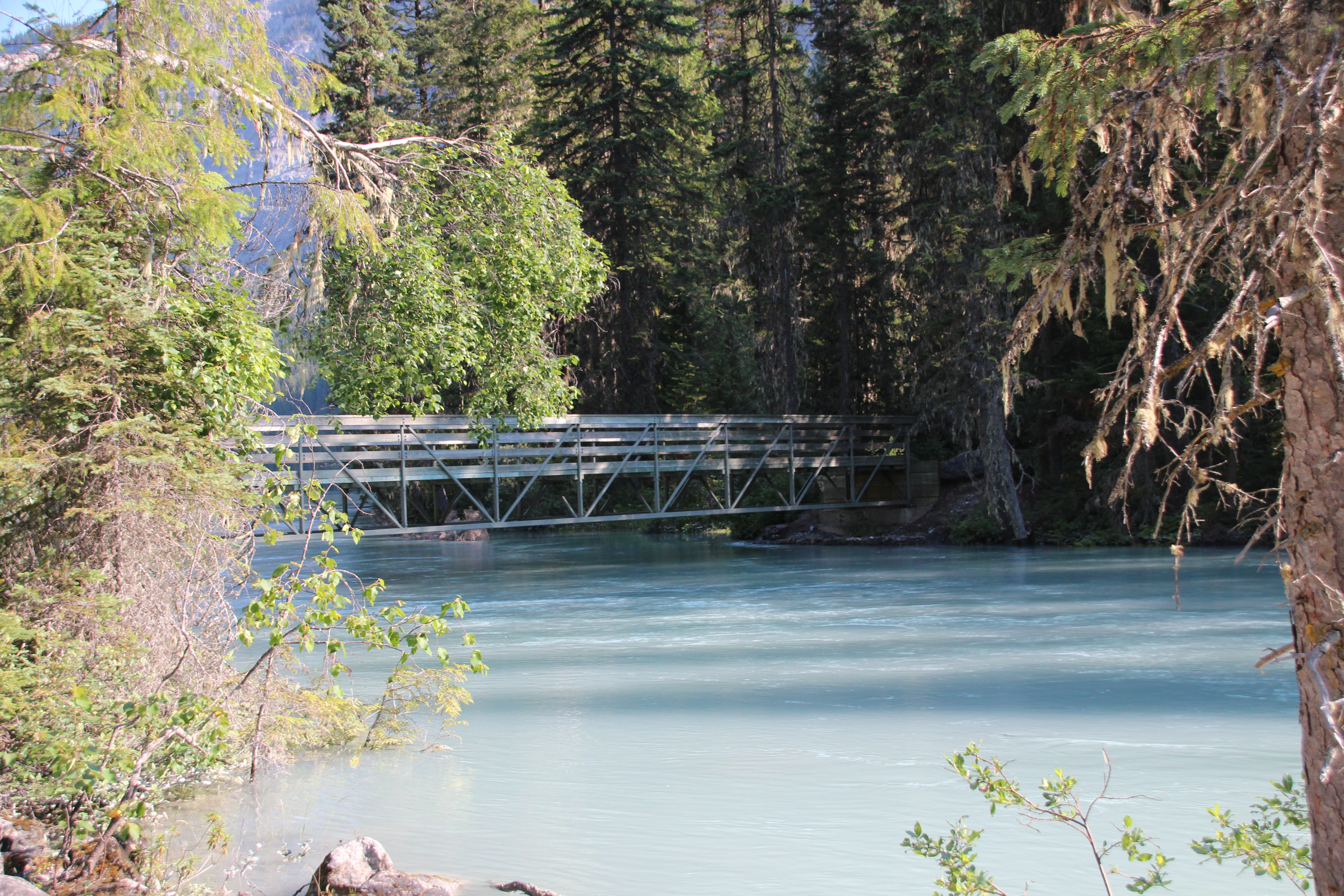
The Berg Lake Trail – Day by Day
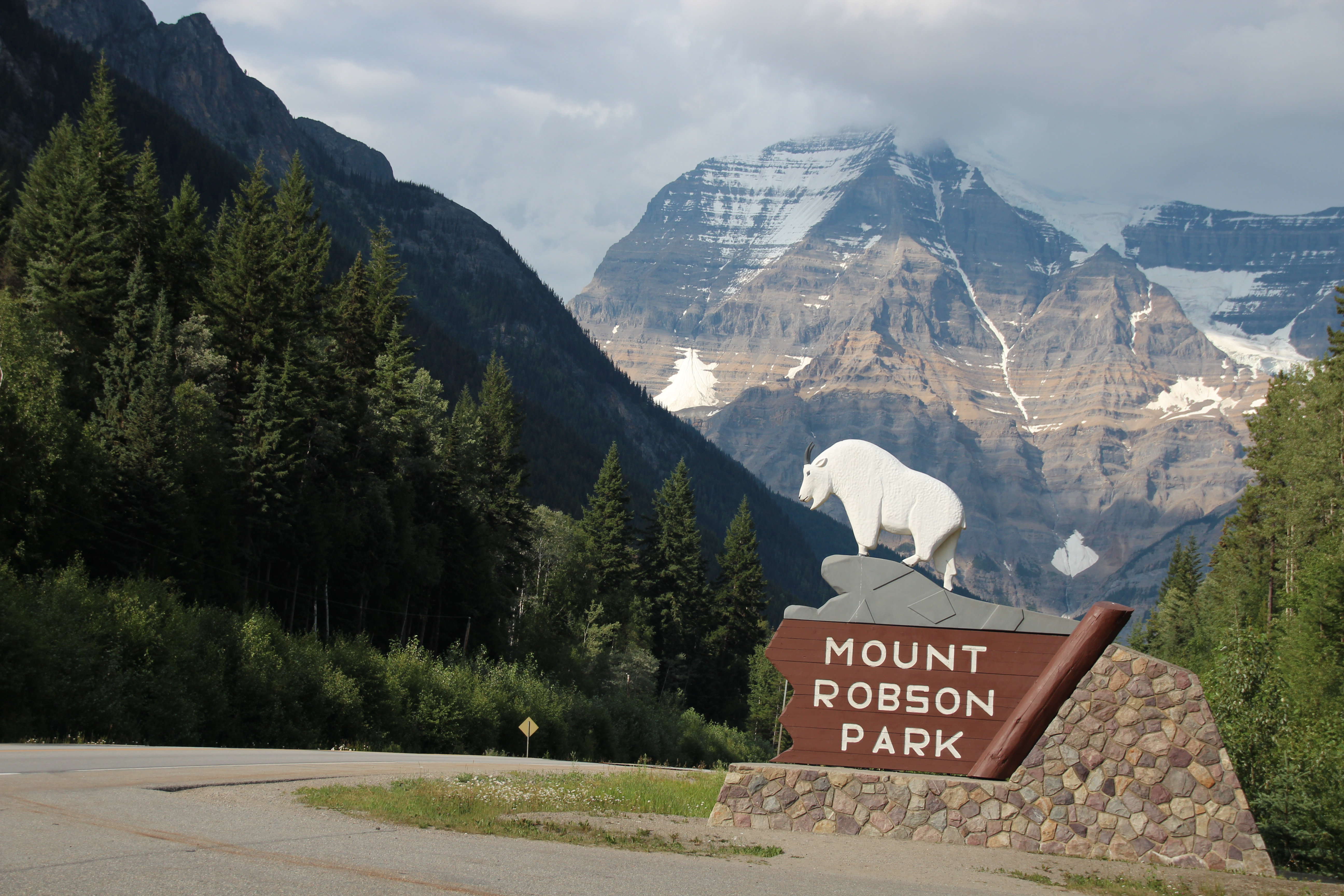
To Mt. Robson Provincial Park I left Kamloops early Saturday afternoon. Earlier in the day I had received confirmation of some bad medical news about a very good friend – I was devastated, and I was already thinking about another friend who is undergoing treatment for Breast Cancer, so all the news all hit me at once and I cried all the way to Mount Robson. Actually, to be honest, I cried all the way to Little Fort (about 100Kms from Kamloops) when I realized I didn’t have my

Mt. Robson Provincial Park
camera bag with me. Photography was one of the major reasons I was going, and my ID and money were in the bag so I couldn’t have gotten gas or anything if I didn’t turn back. The crying turned into cursing, briefly, and then I settled down and just let the day happen. I went back and got the bag, laughed a bit at myself, went to Dairy Queen and got a Blizzard, and got back on the road, crying and listening to music all the way. Four hours later I made it to the Robson Meadows campground in plenty of time. I felt very quiet and reflective. Being alone was perfect.
Day 1 To Kinney Lake
I knew the day was going to be hot so I planned to be on the trail by 6:00 am. I did not too bad, after having breakfast

- Kinney Lake
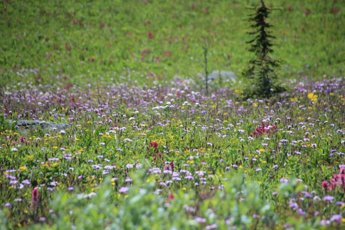
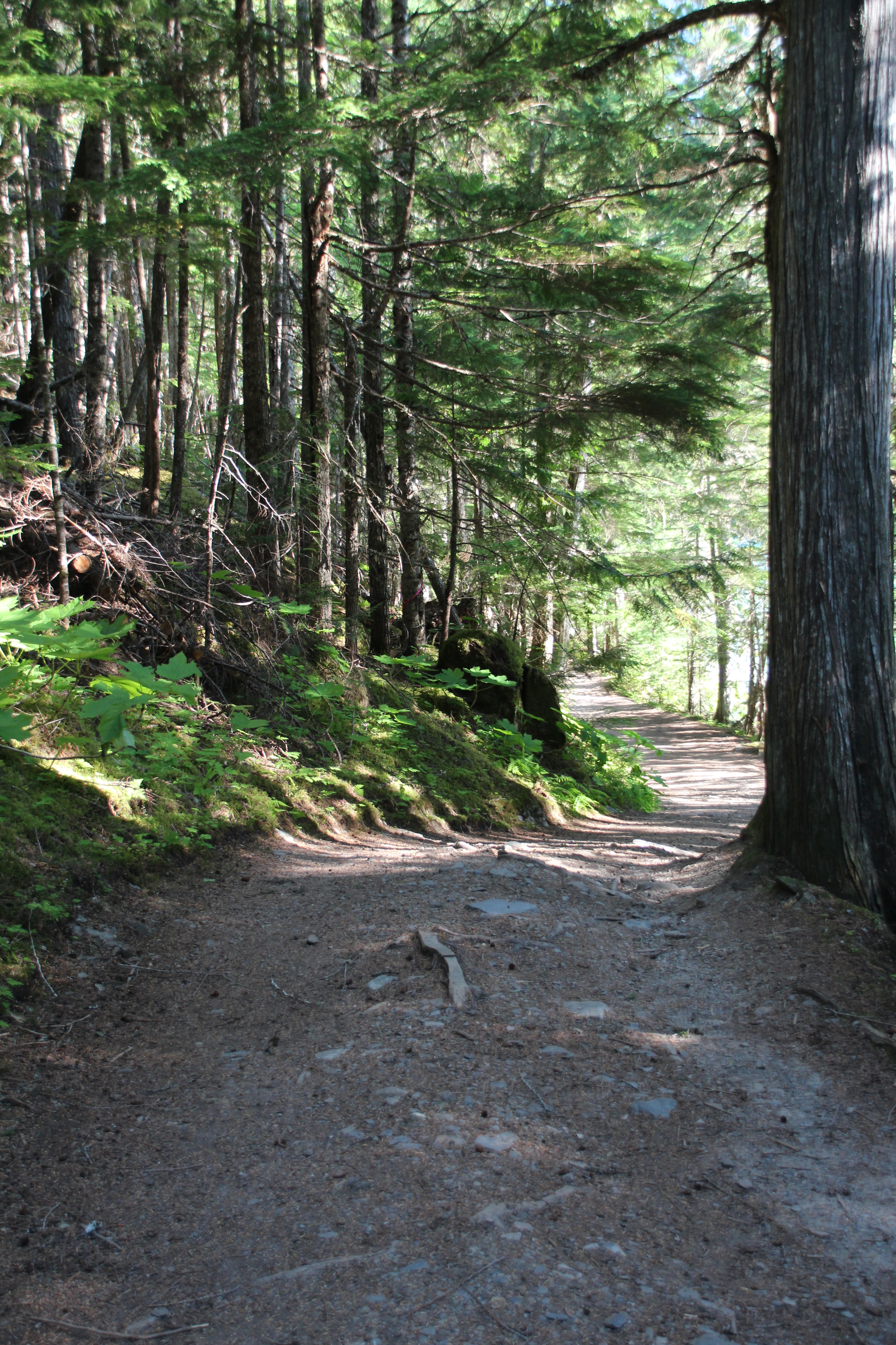
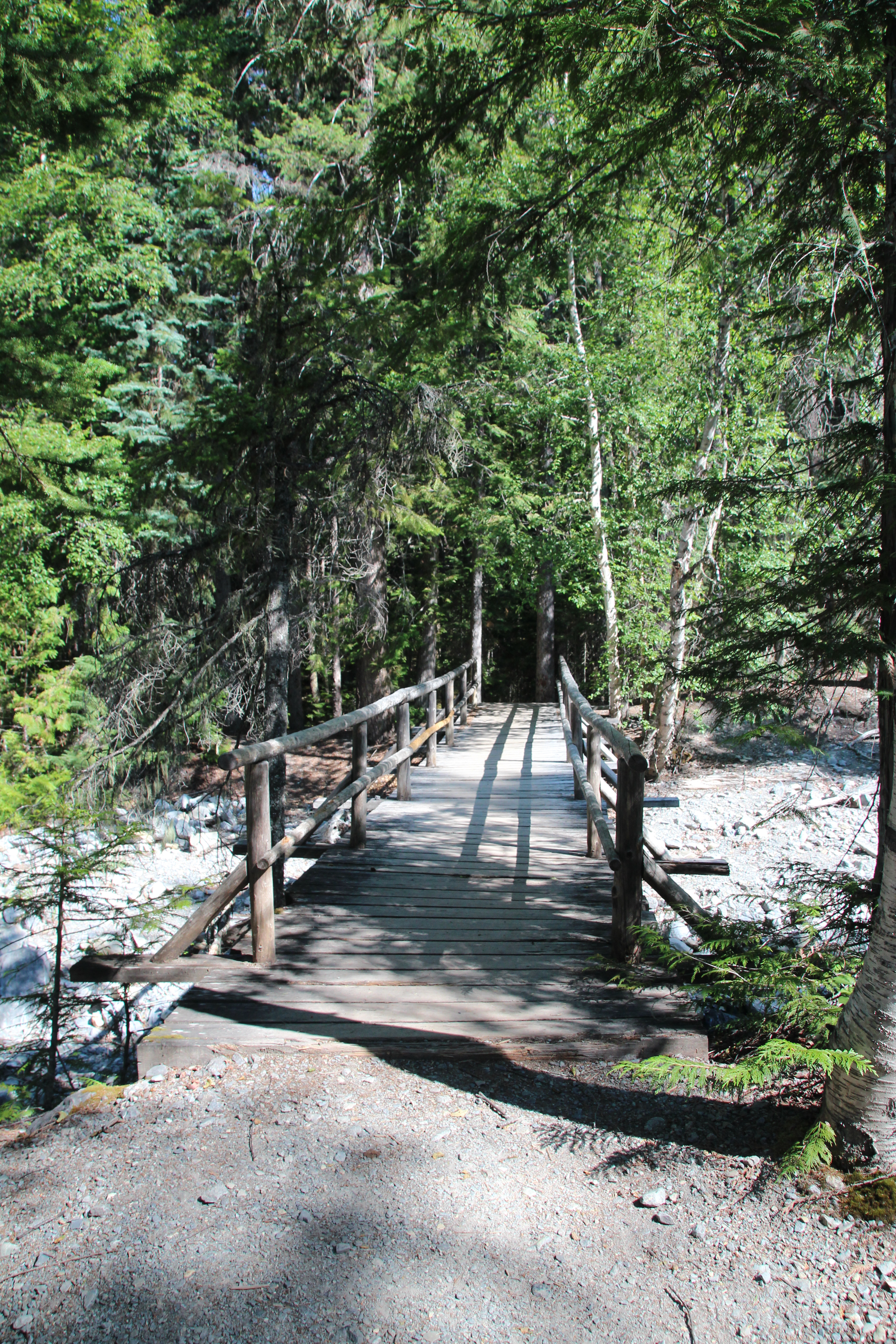
(awesome pineapple and coconut porridge) and dumping a cup of chai tea on Danielle’s backpack (sorry!) I got myself organized and started on the trail at 6:45 am. There were plenty of cars but no people. It felt a bit strange and it was already hot. I was wearing hiking shorts and a Merino t-shirt from Icebreaker. Although I packed warmer clothes, this is all I wore for three days. The first 6 Km is a lovely trail that leads to Kinney Lake. If you’re driving by and want to stretch your legs, this is a great hike, not too hard and the reward is stunning. I stopped and rested at the Kinney Lake day shelter, filtered a bit of water, and I was feeling pretty good. I was half way to the Whitehorn campsite.

The trail to Kinney Lake

The trail to Kinney Lake

The trail to Kinney Lake

To Whitehorn
The hiking trail to Whitehorn is frustrating. You leave the water level at the lake and do this long convoluted and steep

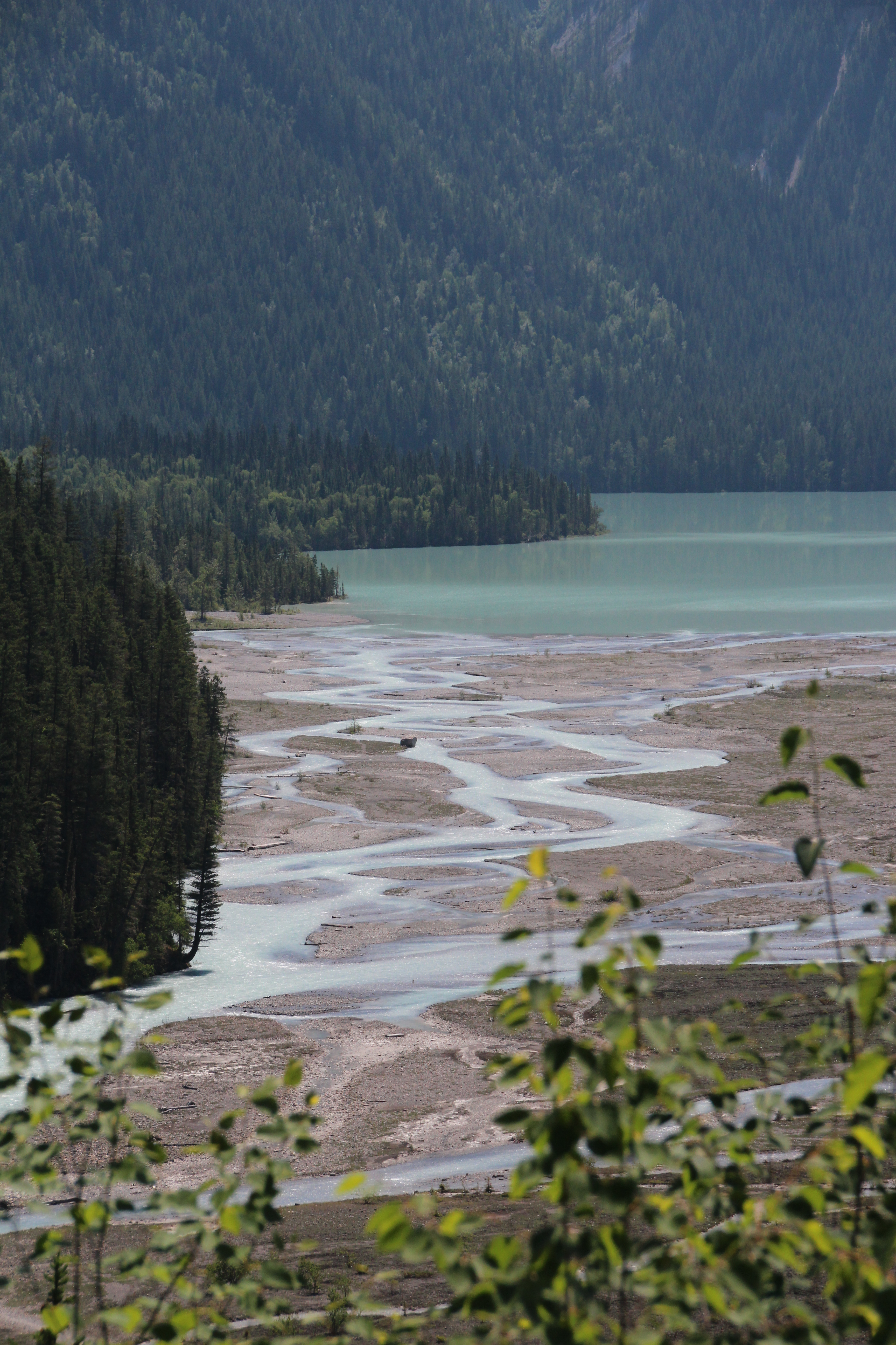
Kinney Lake from the trail to Whitehorn
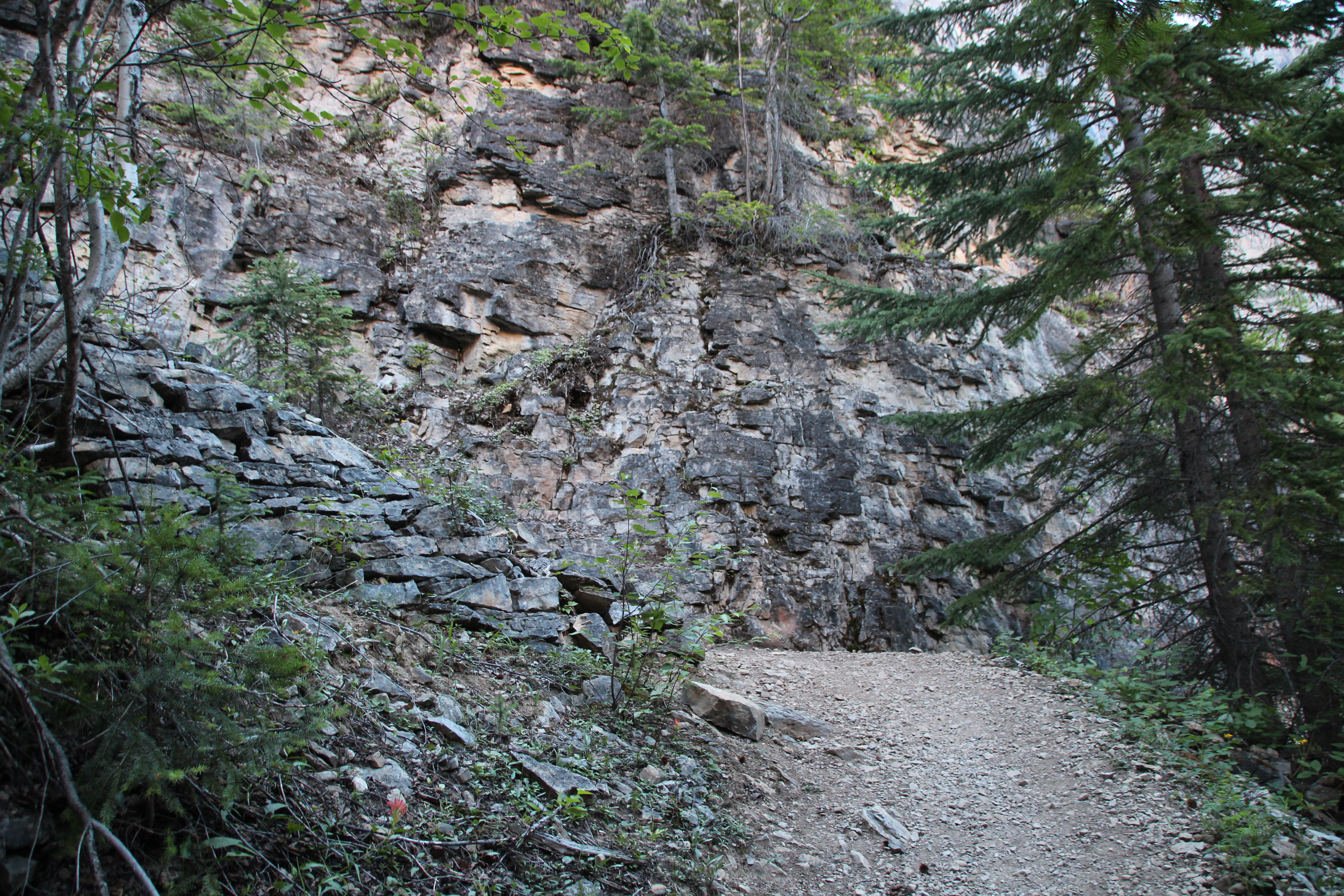
route through the trees only to descend again and end up crossing the river bed. I found out after there is a horse trail, which was the original hiking trail, that stays on the river bed – shorter and less strenuous as long as the water is low. I took that trail on the way back and it made a huge difference. Once you leave the riverbed you climb up a trail that is quite rocky and exposed. This is where my trouble started. I met my old friend heat exhaustion!
Heat exhaustion is an illness of overheating, often brought on by high temperatures and physical exertion. It’s one step before heat stroke, which is much more serious. Once you have it once you’re more susceptible to getting it again. I am not a hot weather person at all and I had heat exhaustion when I was about 18 – riding home from working as a lifeguard at the Y in downtown Kamloops. We lived out by the airport and my mom was working at Overlander Extended Care at the time. I didn’t make it home, but I managed to walk my bike the last kilometer or so to get to Overlander. When I walked in the door the nurses who worked with my mom were immediately alarmed and sent her home with me – cool house, lots of salt and fluids, rest. It’s a day I’ll never forget and I’m sure my mom won’t either.
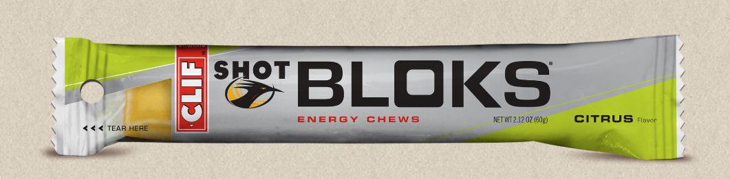
The last part of the walk from Kinney Lake to the Whitehorn Campsite felt exactly like that. I was walking maybe 100m before I needed to stop and drink again, catch my breath, and rest a bit. What saved me was something I threw in my bag at the last minute, Cliff Shot Bloks – gummies we use when running long distances. I had absolutely no appetite but I nibbled on these, which are full of electrolytes and carbohydrates, and drank lots of water. They’re pretty much all I could keep down and I plan to keep an emergency stash with me from now on!

For your reading entertainment, here are the signs and symptoms of Heat Exhaustion (according to WebMD). I am particularly famous for muscle cramps, fatigue, pale skin, profuse sweating and rapid heartbeat.
Confusion
Dark-colored urine (a sign of dehydration)
Dizziness
Fainting
Fatigue
Headache
Muscle or abdominal cramps
Nausea, vomiting, or diarrhea
Pale skin
Profuse sweating
Rapid heartbeat
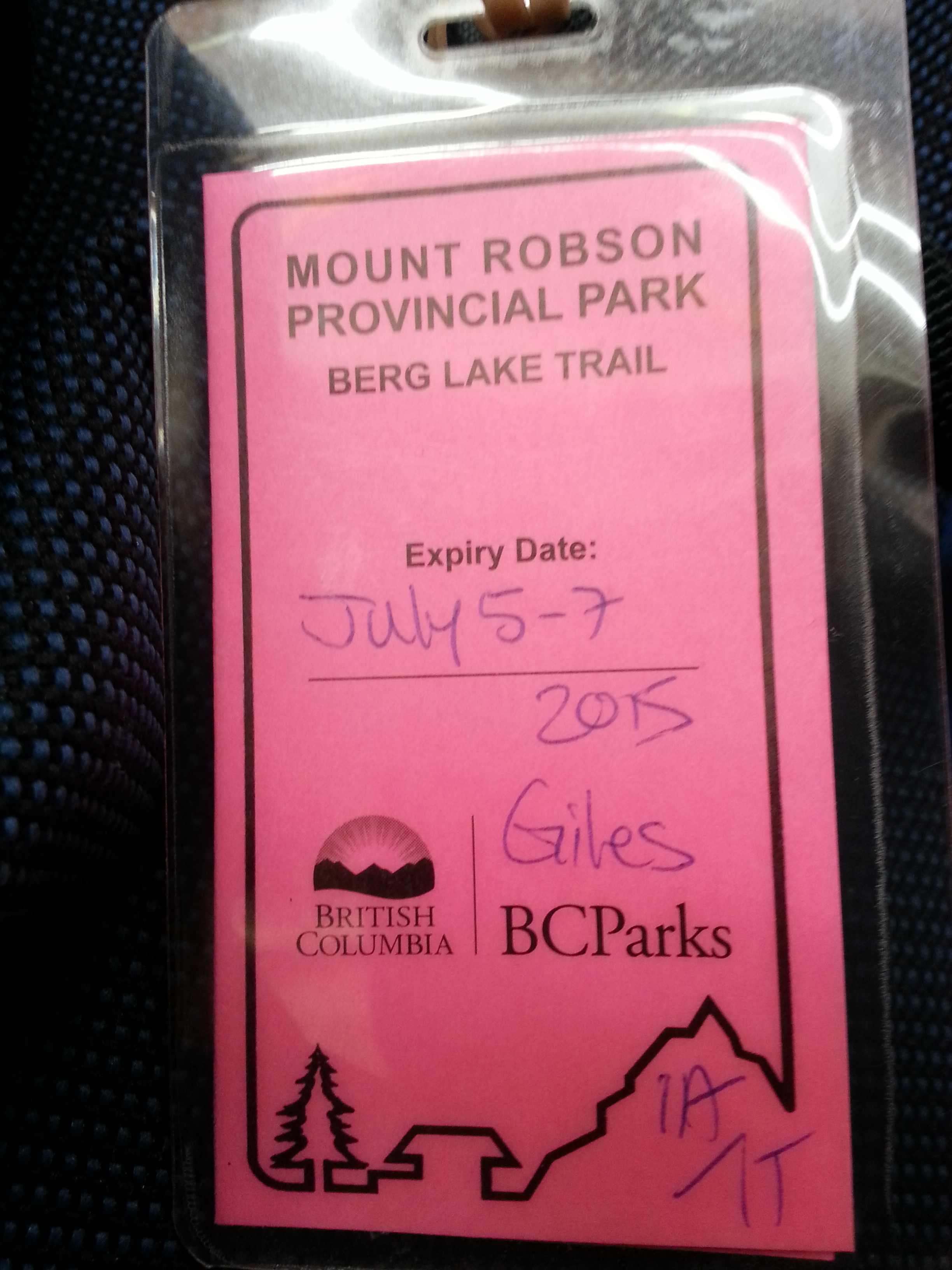
I got to the campsite at about 1:00 (I think) and after filtering some more water I managed to set up the tent and lay down for an hour or two which made a huge difference. I noticed that I had absolutely no appetite but I forced myself to have a snack – tuna and crackers, and I didn’t have to pee at all – neither was a good sign. I forced myself to eat some curried rice and I drank buckets of water before going to bed. I also gave myself permission to not continue if I didn’t feel up to it the next morning. I am smart enough to know my limitations and Day 2 was supposed to be my hardest day of all – the climb to Emperor Falls. In the evening the park ranger, who lives in a cabin across the river, came by to chat with people and check their trail

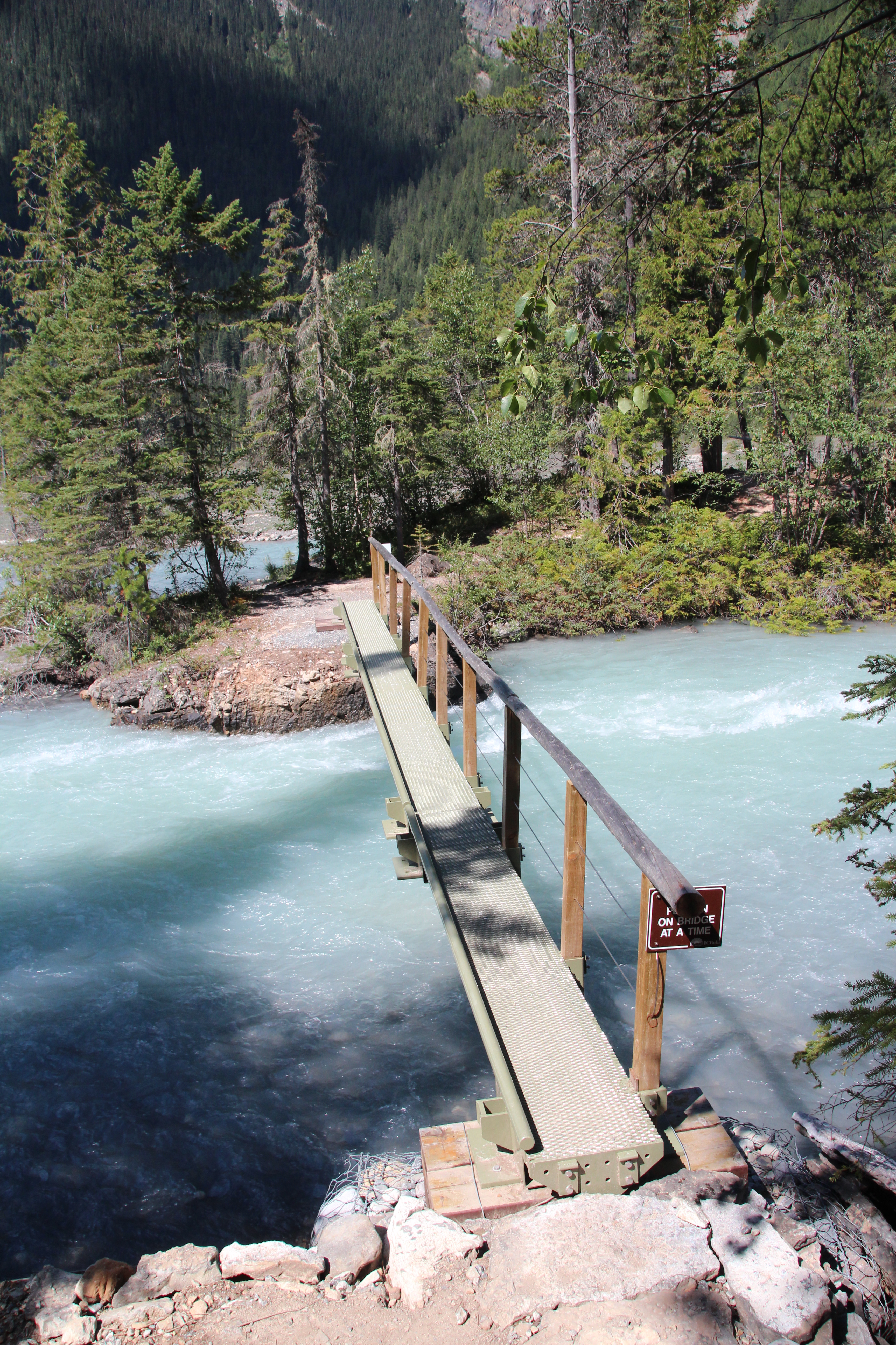
My trail pass
passes. Nobody camps on this trail without a valid pass. She looked at my pass and then look at me, a bit puzzled. “Are you solo?” she asked. I told her I was and she, with obvious respect, said, “Way to go!” I have to admit, I was seriously proud that she was impressed with me. I told her about my heat problems during the day and that I was considering not going any further. If I did go on I was planning to be on the trail by 5:00 am. She told me that if I took my time, had at least 2 litres of water, and was on the trail by 5:00 I’d be fine. There is a part of the next day’s trail that was very exposed on a rock face and she said as long as I was off of that by 10:30 I’d be OK because the sun hits it at about 10:00 and heats up the rocks making that part of the trail pretty uncomfortable later on. I was reassured by her. She was great and I think her words were part of the reason I decided to continue on.
Day 2 To Berg Lake
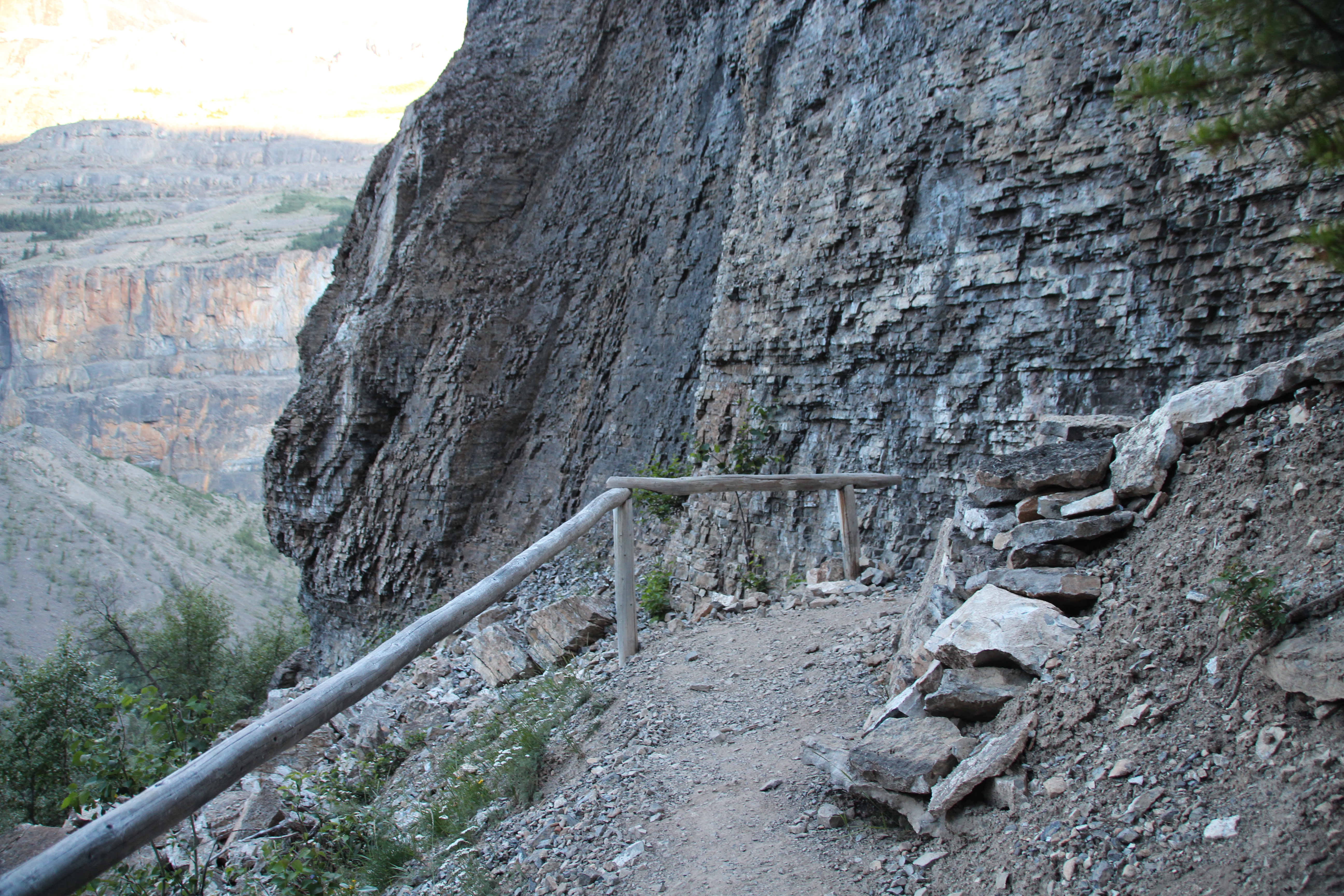
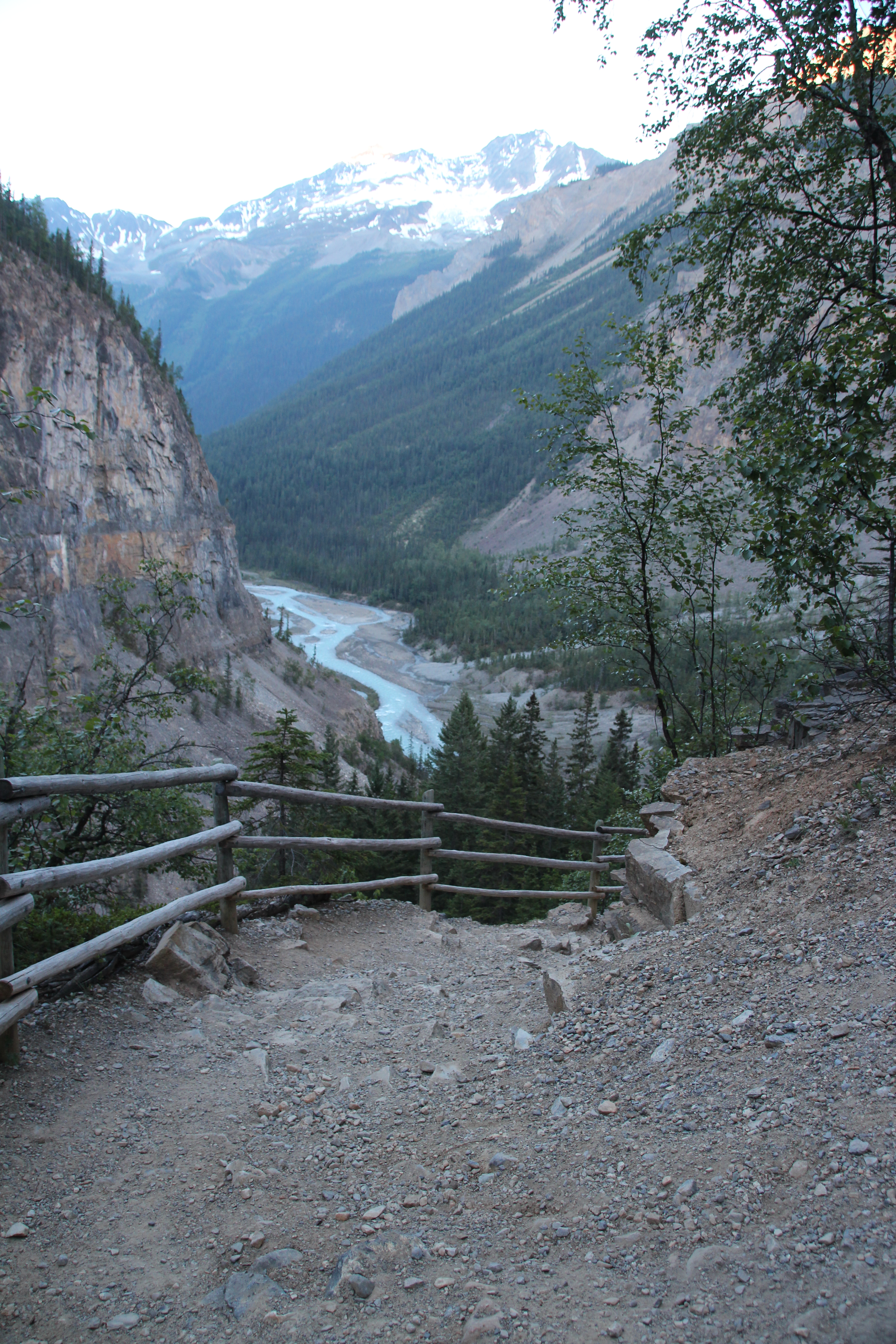
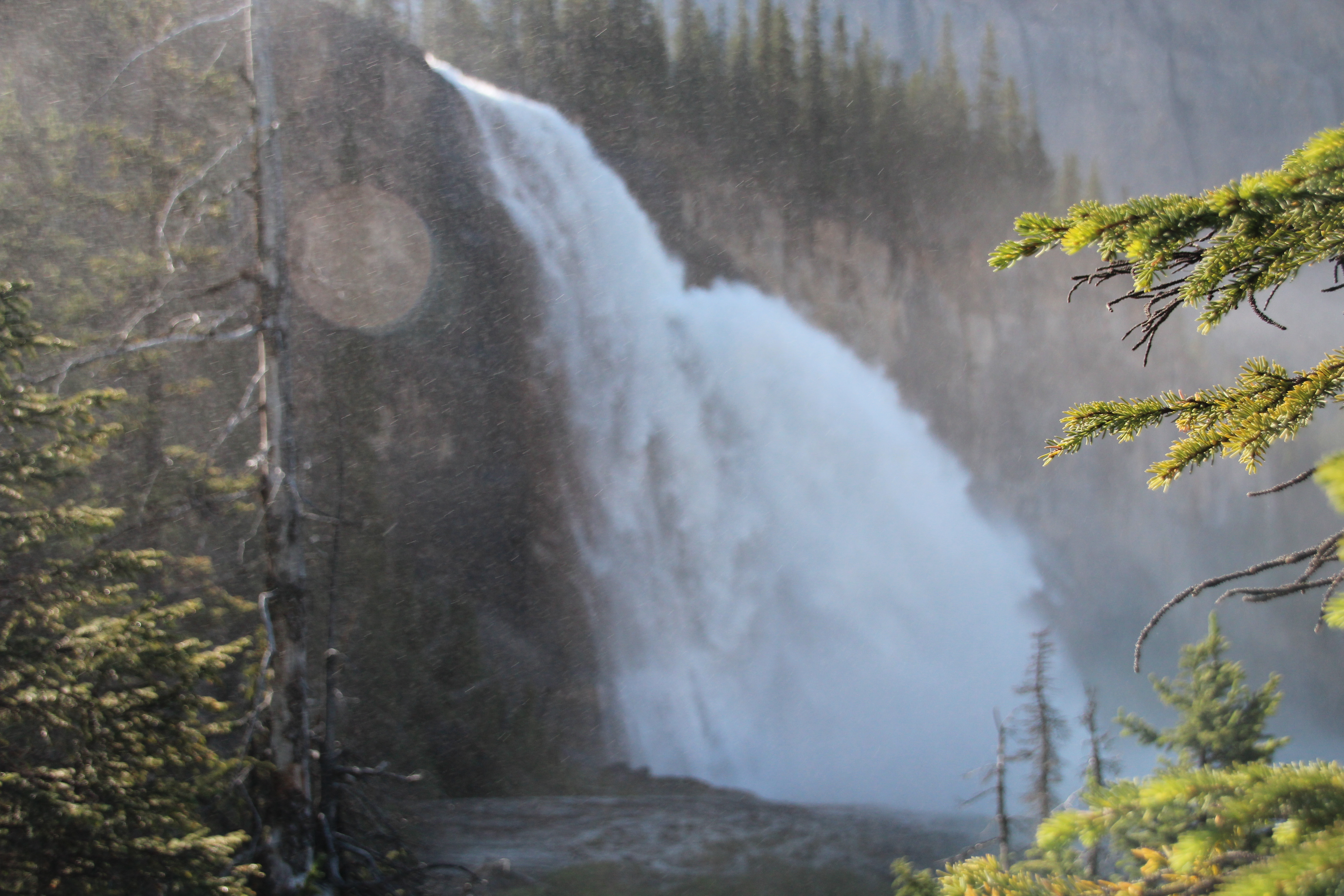
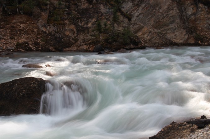
The trail to Whitehorn, according to the map, included an approximately 100m elevation gain. What they don’t tell you is you do that 100m a bunch of times! The trail from Whitehorn to Berg Lake includes the very steep 4Km to Emperor Falls – a 500m elevation gain in a short distance. For those who are geocachers in Gold Country this is like doing Red Rock in Lillooet twice – but steeper. There is no water available until you get to the Emperor Falls campsite at the top.

Trail to Emperor Falls

Trail to Emperor Falls

Trail to Emperor Falls

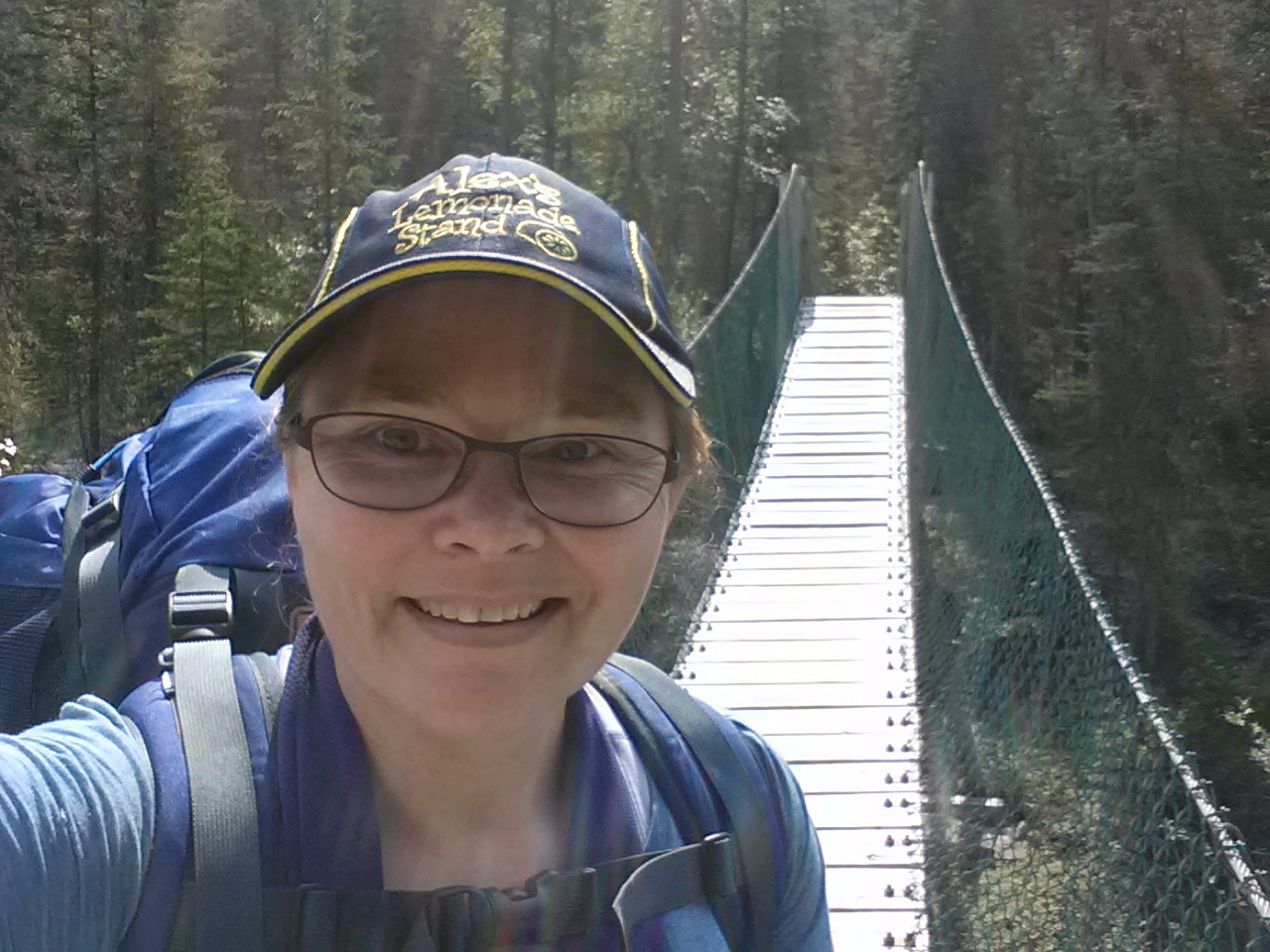
- With Emperor Falls behind me
I was nervous, but I was on the trail by 5:08 with almost 4 litres of water. It was cooler, but not chilly. I was the only

Emperor Falls
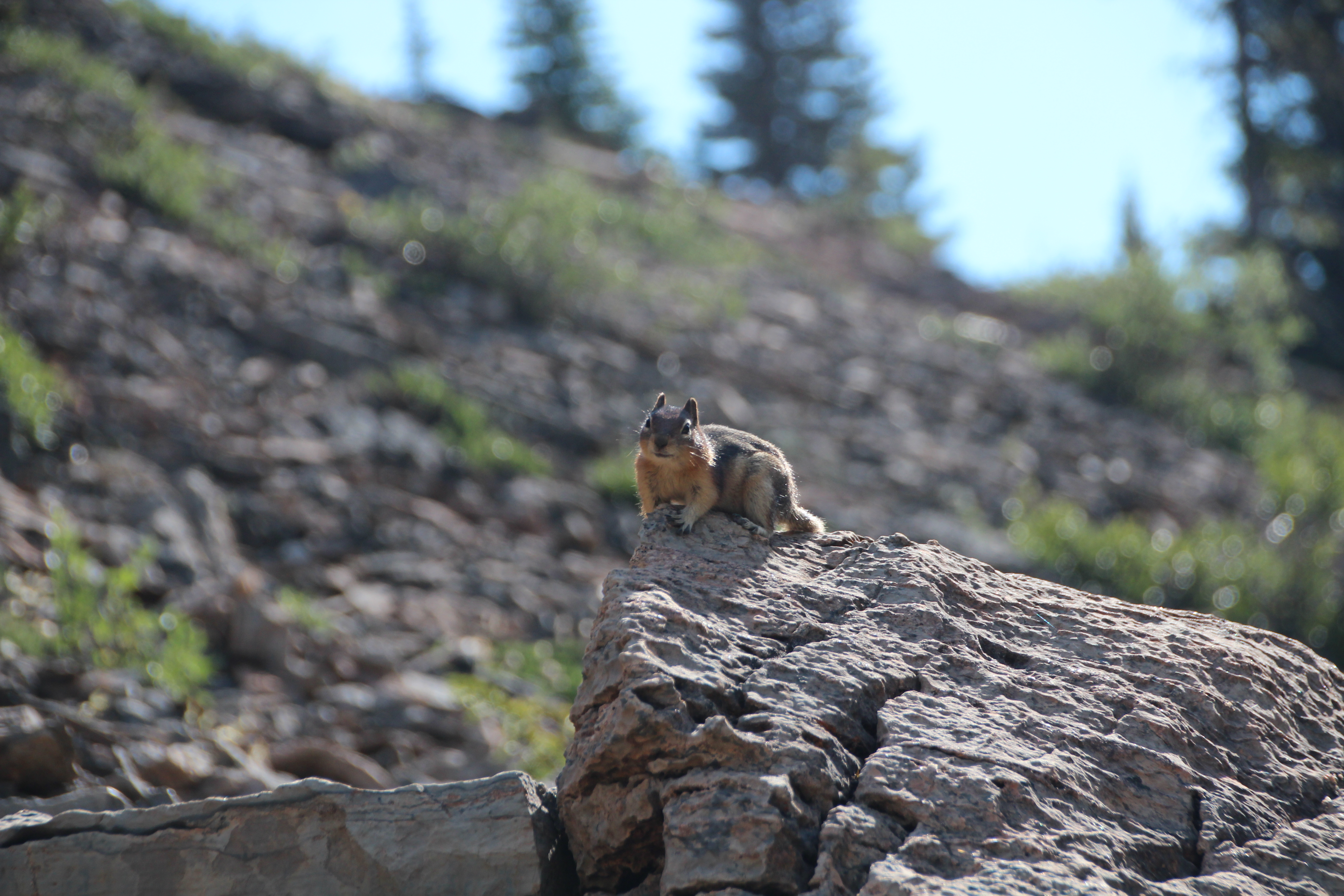
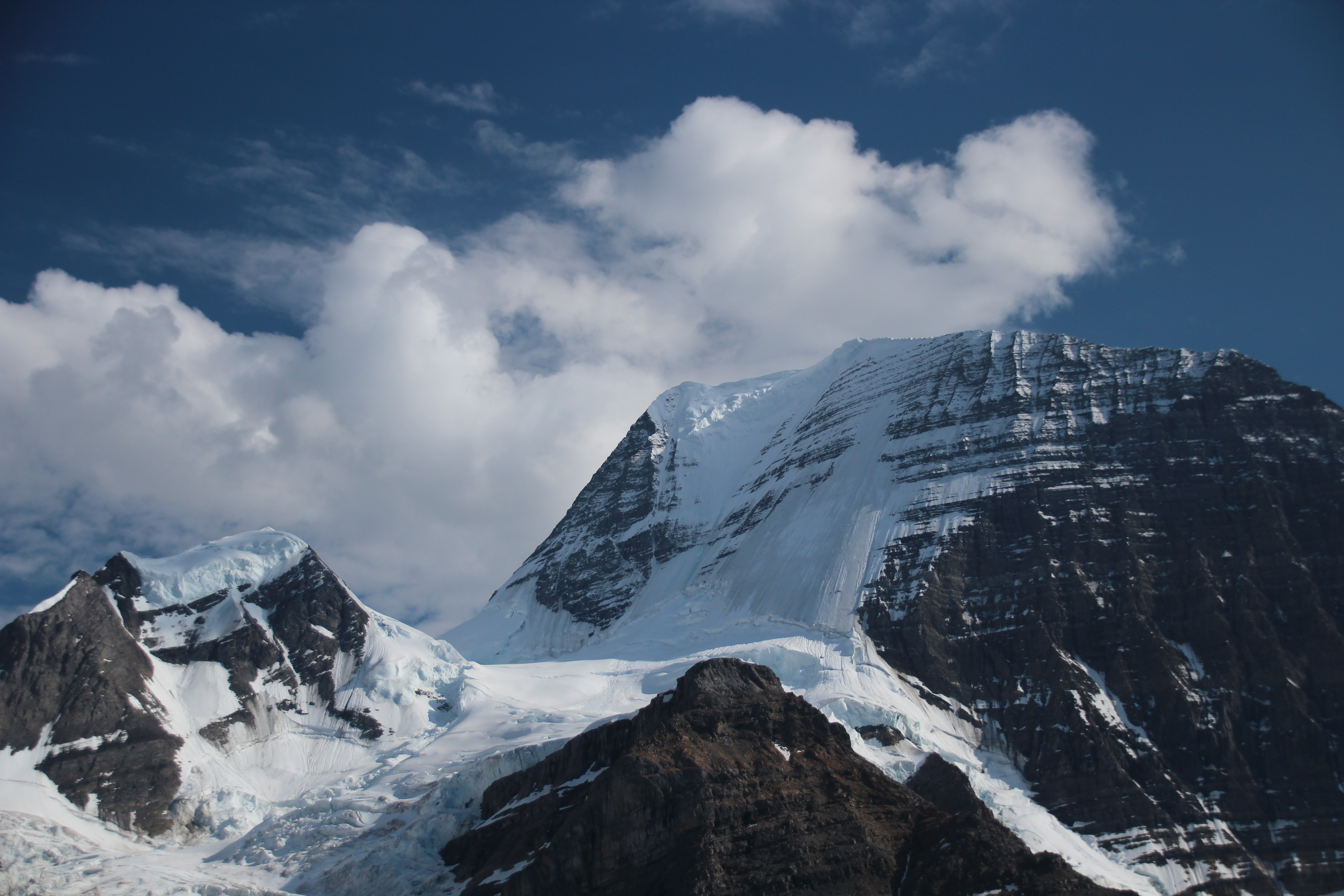
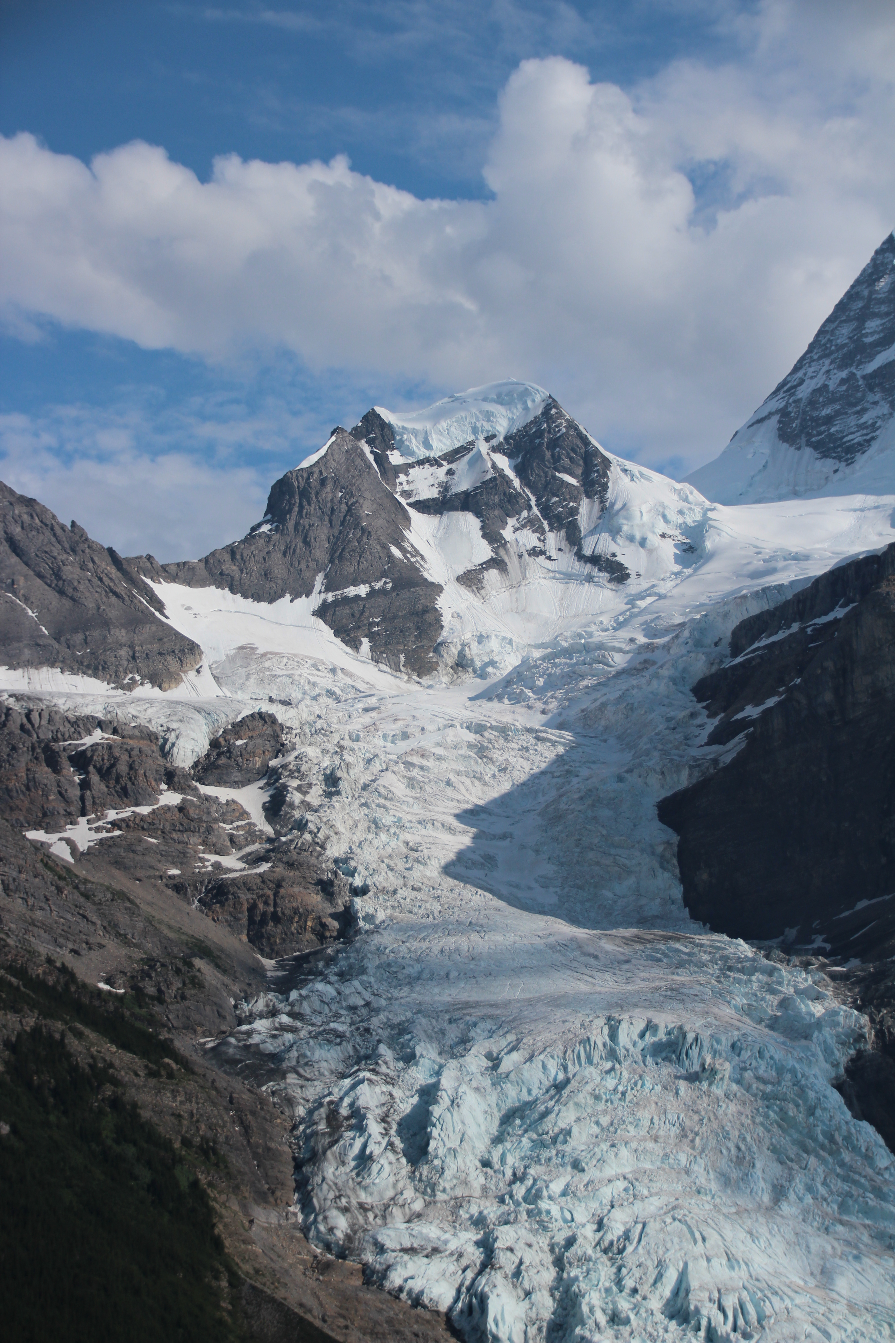
one up in the campsite. I started picking my way up the trail, conscious of drinking a bit of water at every switchback. There are three huge waterfalls on the trail as you go through the Valley of a Thousand Waterfalls. I used each of these big falls (White Falls, Falls of the Pool, and Emperor Falls) as a milestone – 1/3 of the way, 2/3 of the way, almost at the top. At each one I enjoyed the view (and the solitude), took off my pack and rested. I got into the Emperor Falls campsite at about 9:00. I can’t believe that what was supposed to be the hardest part of the hike was actually the easiest for me. I had a snack (tuna and crackers – pretty much the only real food I ate on the trip) and kept going. I only used 1.5 litres of water on the climb but I felt great. The rest of the way was spectacular and uneventful. I had my major wildlife sighting… two chipmunks… on the exposed part of the trail. They were very entertaining and I was in a pretty good mood. At one point on this trail I was in a long valley leading into Berg Lake. I looked behind me, and ahead, and I saw nobody. It was awe inspiring to be in the Rockies, away from cars and the internet and bad news and good news – just alone. I stood for quite a while and just enjoyed it.

- Trail to Berg Lake

Wildlife sighting

poser

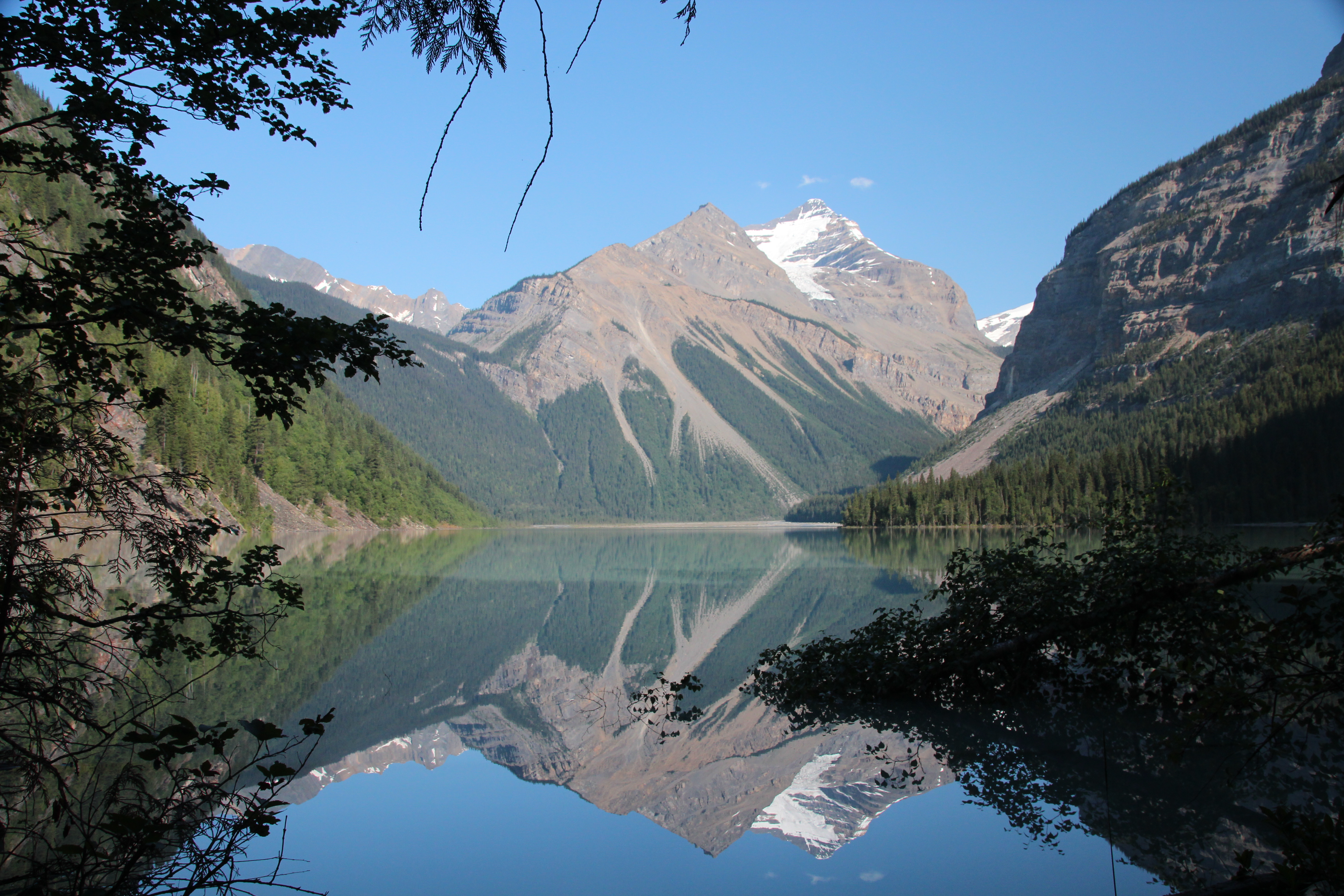
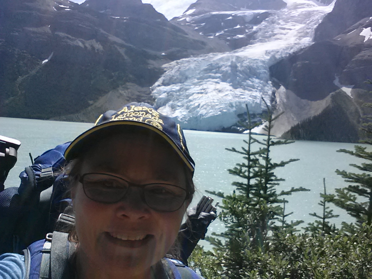
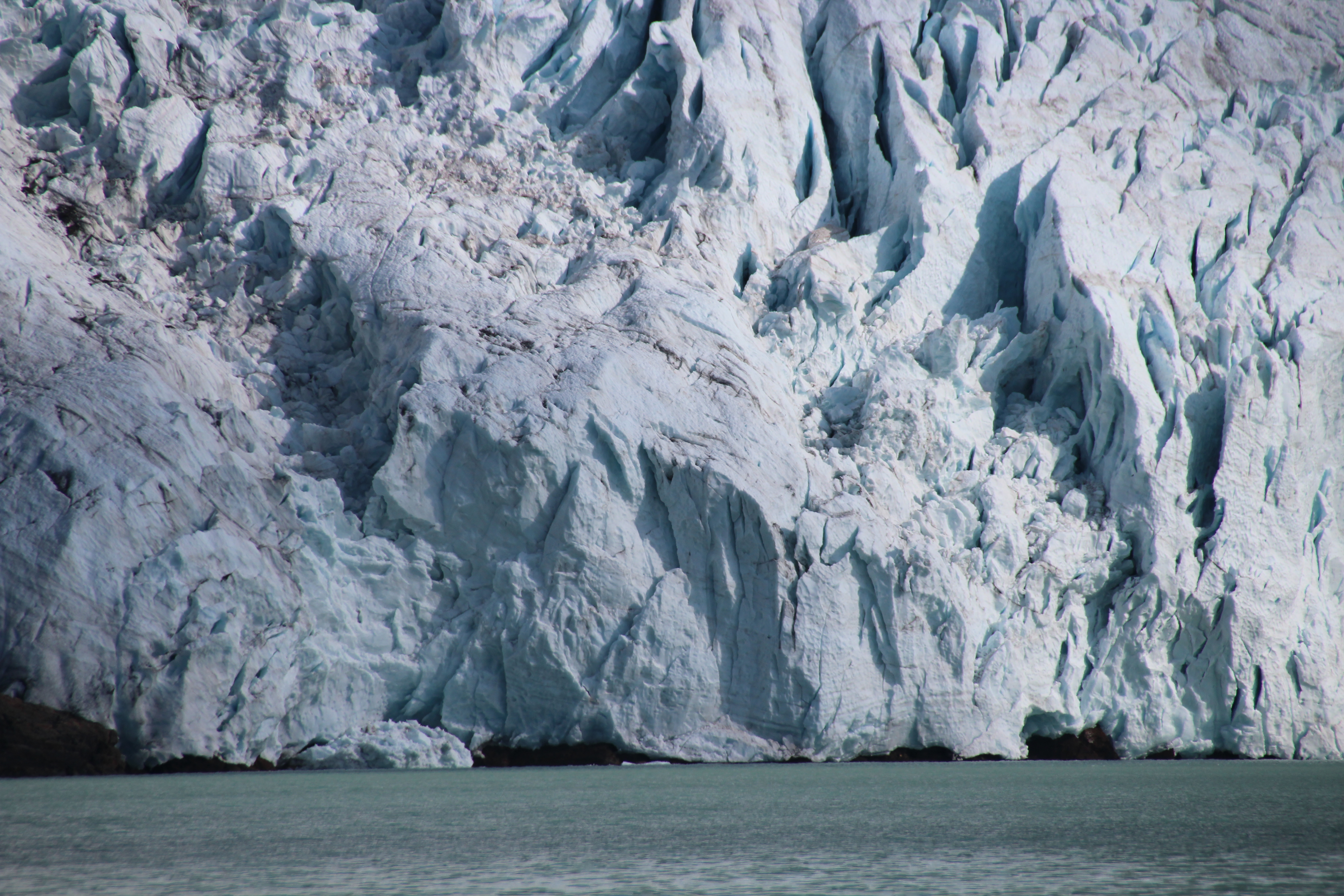
My first sight of a glacier
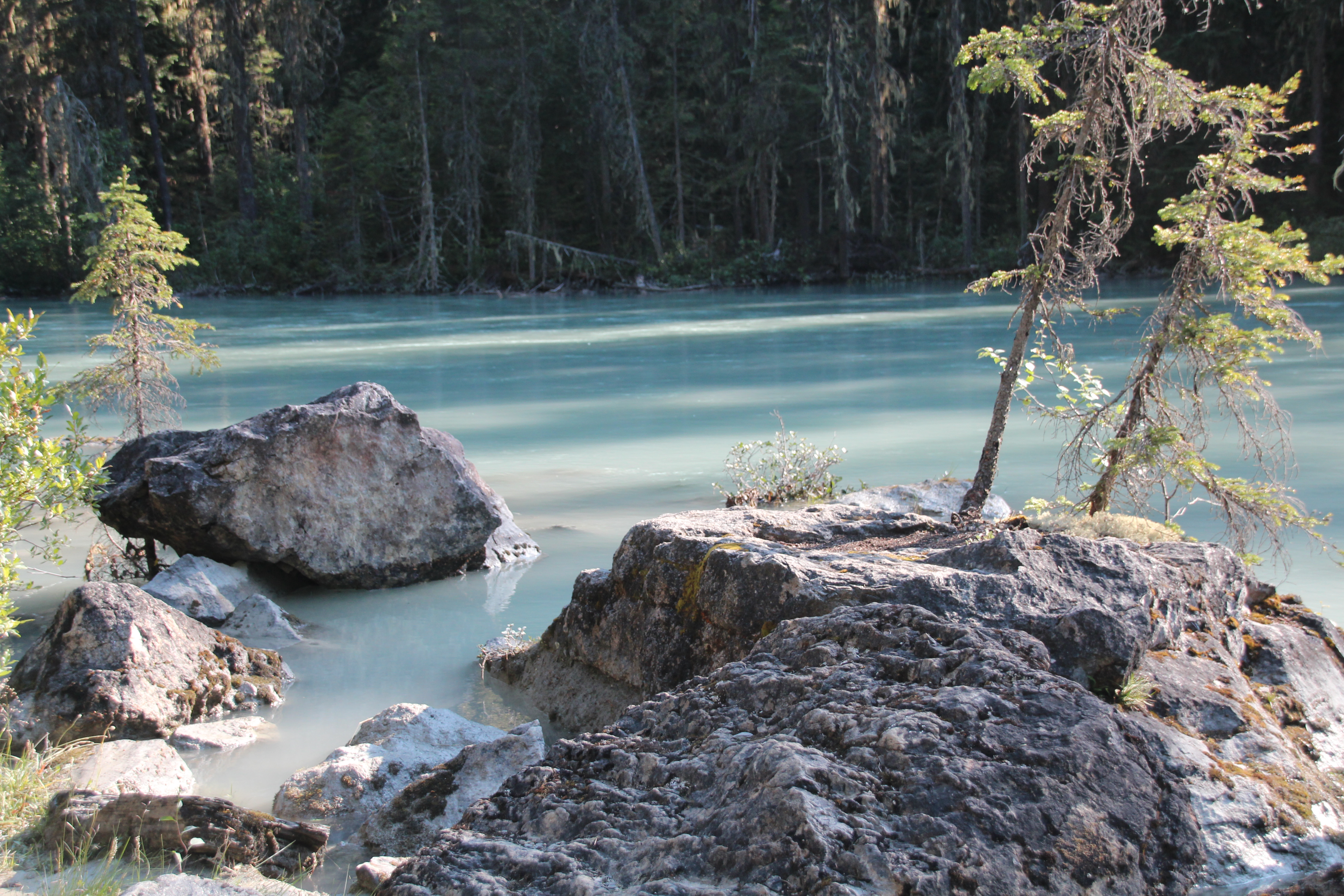
Berg Lake was amazing. I had never seen glaciers in person before this. I got into the campsite at about 11:30, when a lot of the campers were just heading out. After setting up the tent I spent the day napping, listening to the glaciers calving, watching sheets of ice and snow fall from amazing heights, and just being grateful for everything I have, including my health and my courage. I know a lot of people who would never do this alone, and many who physically couldn’t even if they wanted to.

Berg Lake

- Berg Lake


Gratitude… love the ones you’re with like there’s no tomorrow…
more gratitude… more crying.
It was a multi-kleenex day (actually toilet paper).
All night I listened to the glaciers and the birds, songbirds I don’t usually hear and have no idea what they are. The glaciers sound like groaning and thundering voices. The birds were melodic and light. It was like a symphony. I loved it.
Day 3 Home
Had I been more on the ball, or known more when I planned this trip I would have taken an extra day or two. Maybe one to play around on the day hikes at Berg, and two to get back to the parking area. Instead I got up at 4:00 the next morning and was on the trail again by 5:00 – planning to do the entire 21Km back to the car. It’s all downhill, how hard can it be?

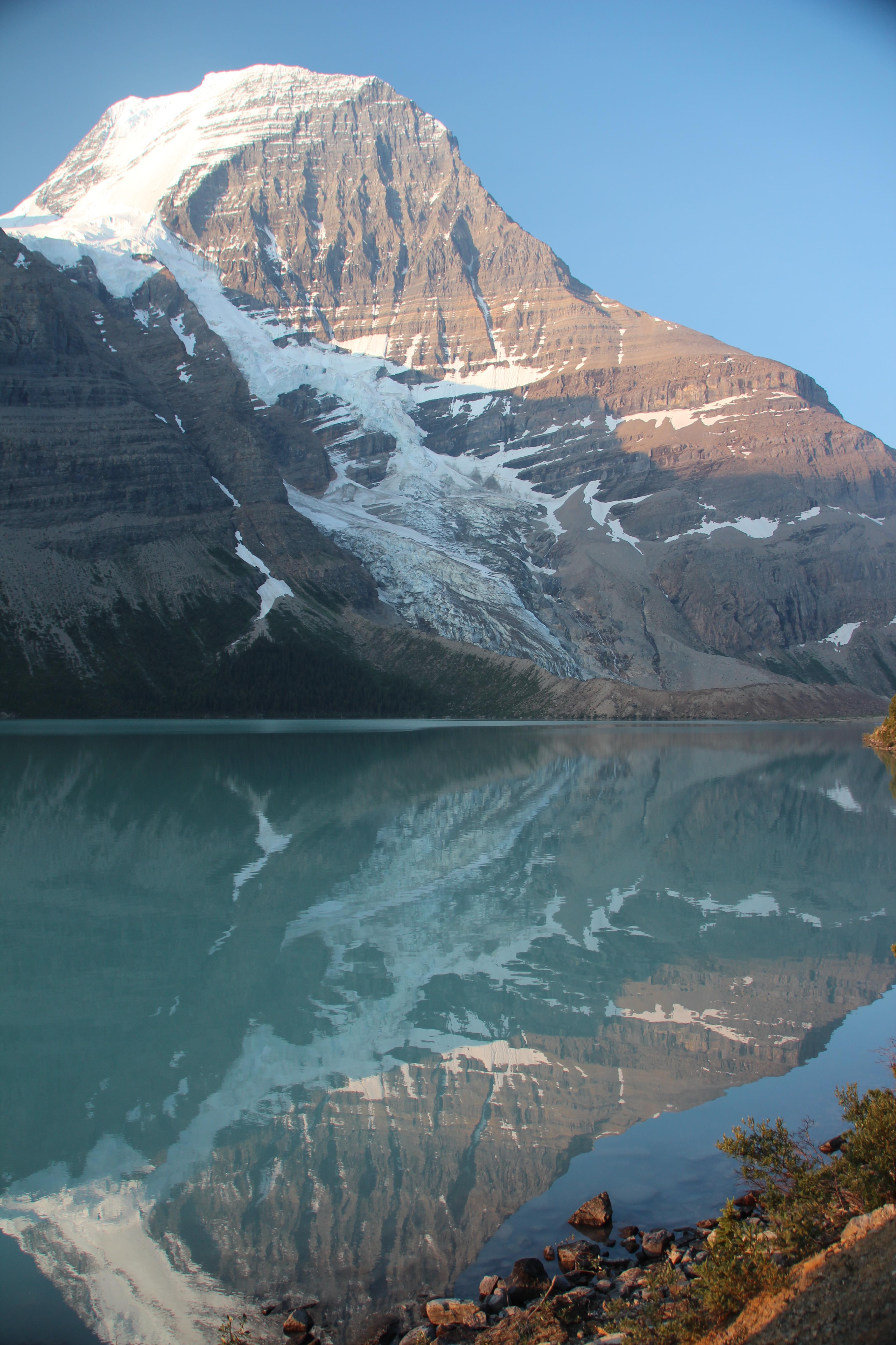
Sunrise at Berg Lake

Sunrise at Berg Lake
I was worried about going down the Emperor Falls route because I don’t have great balance and footing and I often slide when going downhill. My new Scarpa boots earned their keep on this part of the trail, though. Thanks to them and my walking poles I never slid, I felt very comfortable going down the steep terrain, and even my knees weren’t complaining too much when I got back to Whitehorn at about 10:30. I had a snack (more tuna and crackers), filtered some more water, and set out again for Kinney Lake and then the parking lot.
Oh, hello heat exhaustion! I missed you… for a day! Blech!
By Kinney Lake I was not in great shape and there was a huge group of Czech tourists in the day rest area so I couldn’t really sit in the shade. Not a great move. I had a hat and a cooling cloth and any time I was near water I was dipping both and putting them back on to try and cool down. The last 2 Km was the worst. It took me eight hours to do the 21 Km but I finally made it back to the parking lot. It was hard, but every step reminded me about my two friends – one in the early stages of treatment and one with a devastating diagnosis – this is hard, I had to remind myself, but it could be so much harder. I’m very lucky I could do this, I could take these steps, lucky I could complain about something like heat and the trivial fact that my feet hurt. Everyone should be as lucky as me. The thing that kept me going, though, was the gratitude. I am so grateful that I gave myself this opportunity. I first read this poem by e.e. cummings years ago and it runs through my head when I most need it. I needed it, and heard it a lot on this special trip.
i thank You God for most this amazing
by e. e. cummings
i thank You God for most this amazing
day: for the leaping greenly spirits of trees
and a blue true dream of sky; and for everything
which is natural which is infinite which is yes
(i who have died am alive again today,
and this is the sun’s birthday; this is the birth
day of life and of love and wings: and of the gay
great happening illimitably earth)
how should tasting touching hearing seeing
breathing any—lifted from the no
of all nothing—human merely being
doubt unimaginable You?
(now the ears of my ears awake and
now the eyes of my eyes are opened)
All the way down I knew, I could feel, I was getting closer to my regular life. My tech vacation was over, I was going to be inundated with news, people, and responsibilities. I braced myself, but it made the journey back to the car just a little bit harder.
Finally, I made it back to the parking lot. Every time I’ve done 21Km this year (it’s the distance of a half marathon) there was a medal, cheering crowds, a t-shirt and a box of snacks. This time there was just me and some people who had done the day hike to Kinney. I asked them to take my picture so there’s documented proof I did it. I went to the Robson Visitor Centre and bought myself a t-shirt. I had some poutine (salt and carbs), and then prepared for the drive home. My entire three days I had crystal clear blue skies, which were great for photos but not so great for my health. Sitting in the car I looked back up at Mt. Robson and noticed it was hazy behind a cloud of smoke. I got out just in time. The smoke from local forest fires was moving up the valley. The next day there would be fires in Jasper, meaning more smoke. I can’t believe how lucky I was.

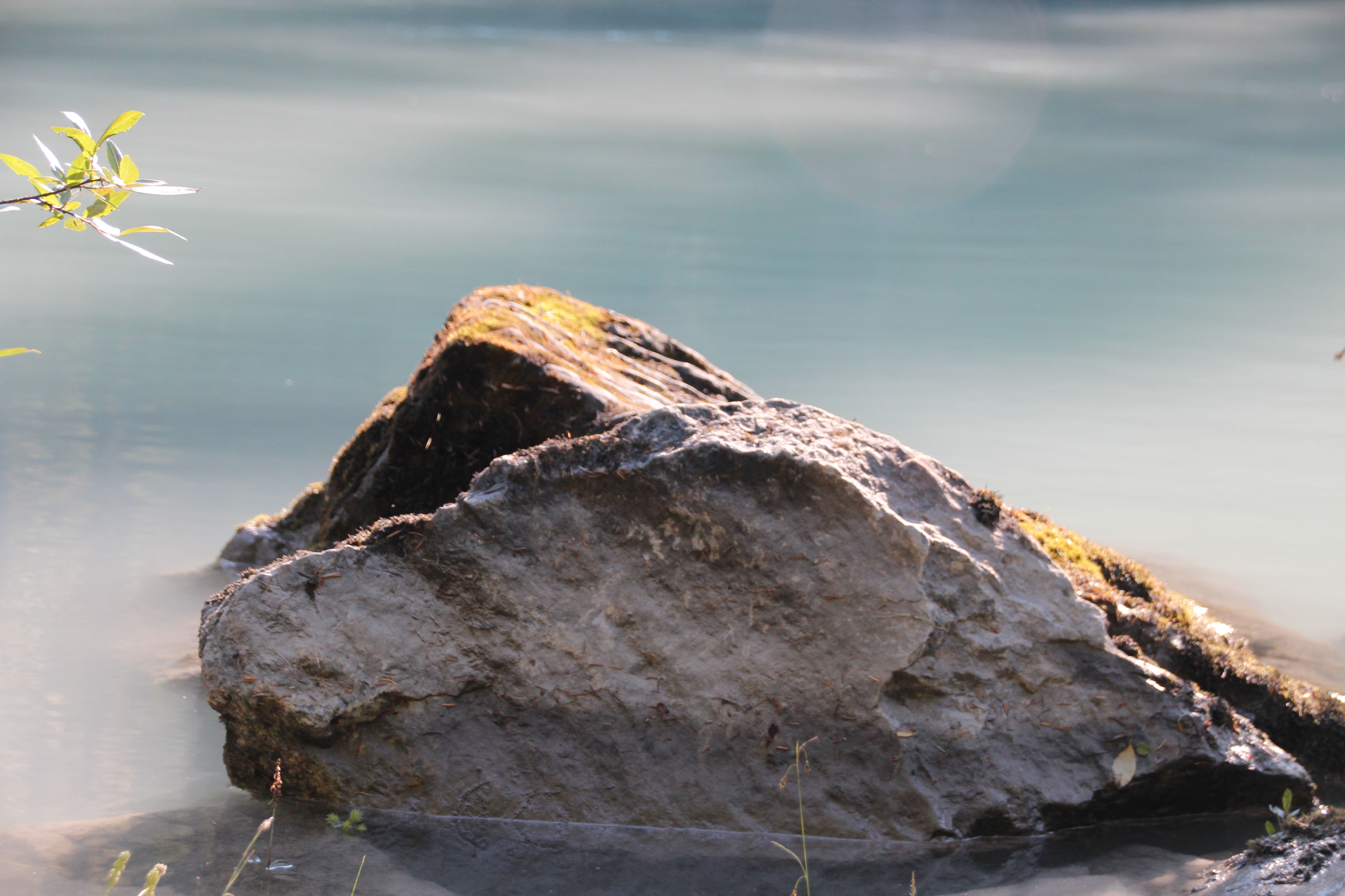
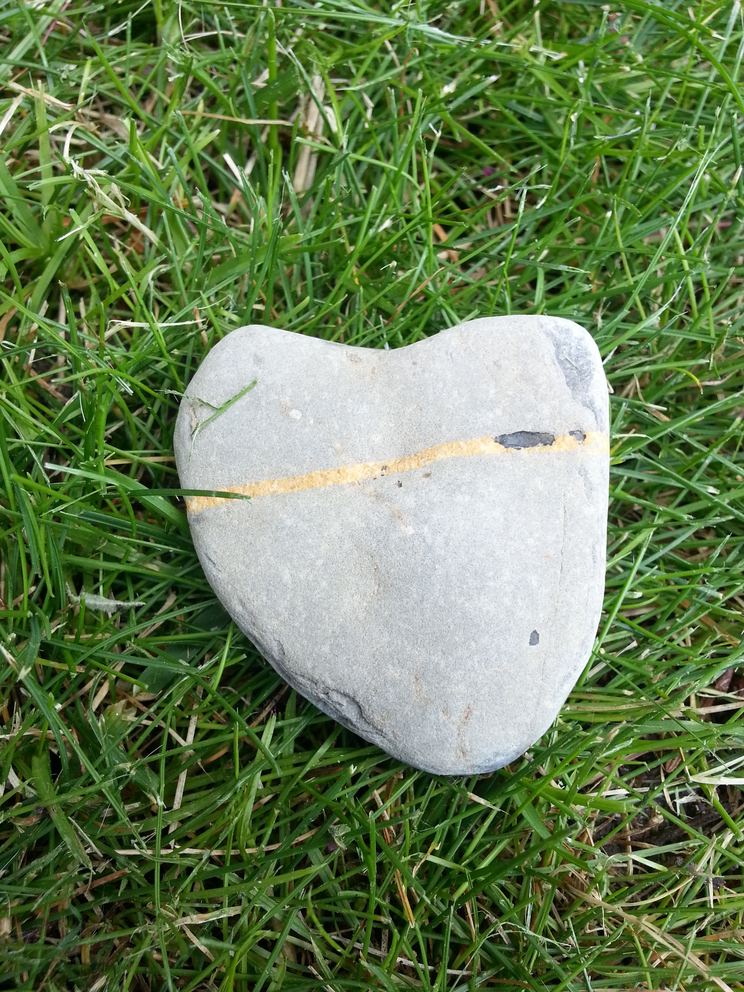
My Berg Lake rock
Would I do it again?
Yes, but I’d be better prepared. I’d have better fitting equipment and I’d know more about the conditions and how I’d respond to them. I would also arrange to have enough time to go slow and enjoy where I am. I saw people doing the entire hike to Berg Lake in one day. They were moving fast and missing sounds, smells, and sights that were right there. I felt sorry for them. I think it’s good to travel alone, and it’s good to take a vacation from technology. I carried my Spot locator and checked in with it (I can only send, not receive messages) whenever I got to a campsite so my mom, and my friends and family knew I was OK, but that was the only technology I had access to. I did something I really wasn’t sure I could do and I’m proud of myself, and always, I’m grateful I have the capability and gave myself the opportunity. I am hoping to do a solo backpacking trip every year. I think gratitude is like a muscle, you have to work it, keep it in shape, nurture it.

DONE! and grateful!


 Last year I did my first ever solo backpacking trip – actually, it was my first ever backpacking trip. I did the 44 Km return trip to